Sometimes the shapefiles produced by delineate are actually invalid geometries according to qgis. Example below:
This should be eliminate in the script so that we don't generate incorrect stuff.
This is accomplished by:
ogr2ogr -simplify 10 -f "ESRI Shapefile" tuolumne_subbasin_fixed_loops.shp delineation/tuolumne_subbasin.shp
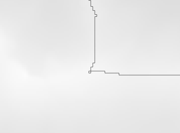